

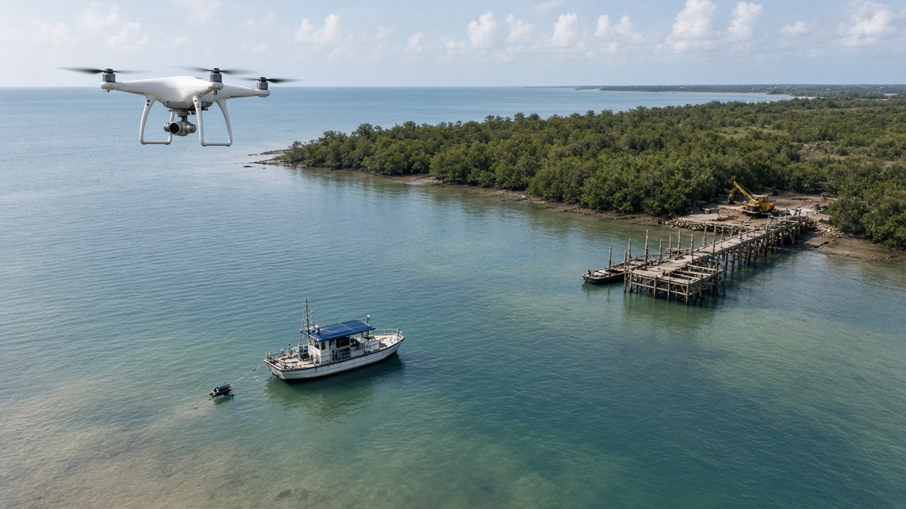
Coastal and river environments present access challenges for conventional survey methods. Shallow water, soft banks, and dynamic channels require approaches that capture bathymetry and adjacent land data efficiently and safely.
Drone-based and hydrographic survey techniques can complement one another to model channel geometry, support hydraulic studies, and inform the design of port, river, and coastal structures.
Bhygraph applies bathymetric and topographic expertise to help clients understand complex sites where terrestrial and aquatic interfaces matter for project success.
When combined with geotechnical and infrastructure engineering services, bathymetric outputs support a more complete picture of site conditions for decision-making and stakeholder communication.
Leave a comment
Questions about this project or a similar scope? Share your details and our engineering team will follow up.
You can also describe technical requirements, timelines, or locations—we welcome feedback and project inquiries.